
 Geospatial intelligence (GEOINT) was defined in 2005 by James R. Clapper (Lt. Gen., USAF, Ret) as encompassing “all aspects of imagery and geospatial information and services. It includes, but is not limited to the analysis of literal imagery; geospatial data; and information technically derived from the processing, exploitation, literal, and non-literal analysis of spectral, spatial, and temporal fused products.” — Technocracy News & Trends Editor Patrick Wood
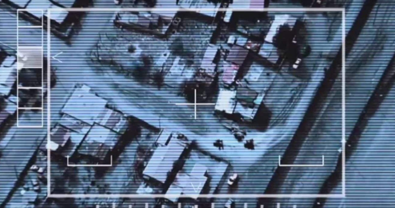
By: via United Nations, Geospatial World
This is the age in which humans and machines come together. We call it the Fourth Industrial Revolution (4IR); it is characterized by knowledge derived from data, networks and powerful tools. Interdependence between the digital (machine) world and human world is total; humans design the machines but cannot exist without them.
Many of the world’s greatest challenges are place and time related. For example – poverty and land rights, circular economy, climate change and sea level rise, renewable energy and how we efficiently harness it, and protection against pandemics and the geospatial science of epidemiology. The defense sector has also long recognized the value of geospatial knowledge, often calling it geospatial intelligence.
Be it advanced medicine, automated vehicles or online dating, a combination of sensors, data and analytics support human decisionmaking. They also influence human decisionmaking. Automation is increasingly seeing changes that exclude humans from final decisions. The first driver-less taxi service is now operational and automated drone corridors are being established. But we have not yet reached a state of Nirvana, not even nearly. How often have we heard leaders across the world say that they “don’t yet have the data to know” (and by implication cannot decide what to do), in the context of the Covid-19 pandemic? This one question encapsulates the whole purpose of this Paper. Data is not the endpoint. Knowledge, decisions, services, satisfaction are the value chain that data feeds. Whilst we call data ‘the new oil’, knowledge is perhaps ‘the new capital’. Its value is determined by the application of that knowledge, which is derived from the data. Sadly, data producers often do not know that value either because they are far removed from data integration and the applications, models and machines that deliver the knowledge, and value, for the user.
Data comes in many forms, from many directions and portrays many realities, including the real world. Data and applications largely sit on the global digital infrastructure, which has matured considerably in recent years. Digital Twins represent this world in cyberspace but can only do so if place and time are digital too. Digital place and time are therefore critical components in our digital age, but the associated 4D mathematics is complex science. Geospatial technologies and data have met this complexity and developed alongside the wider digital ecosystem, often leading it. This has led to great successes, but also a degree of separation from the wider digital and knowledge ecosystem. Some data has location as an organizing principle or attribute, other data does not.
Location and time are powerful attributes, the most powerful means to integrate and analyze data to enable understanding through knowledge. Knowledge in the digital world is derived from combining a problem, data and analytical tools virtually, and increasingly in real-time, but this carries far more value if place and time are brought into consideration. In fact, ‘what’, ‘where’ and ‘when’ questions cannot be answered in the virtual world without the use of geospatial technologies. Over a three-year program (Jan 2020 to April 2023), a global partnership will develop the concepts of and a blueprint for a Geospatial Knowledge Infrastructure (GKI). In Year One, concepts have been developed from a geospatial perspective, resulting in this Paper, which is concerned with knowledge, be it machine or human, as that is where the value lies. It brings the geospatial ecosystem firmly into the wider digital ecosystem and ensures far greater use of location across industry sectors and government agencies.
In order to make things work it encompasses government and industry stakeholders and focuses on the whole digital/knowledge ecosystem. Year Two will bring engagement with defined broad industry sectors to further develop the concept, including from a technical perspective, and Year Three will engage with government digital policy leads to further develop and advocate GKI adoption as part of integrated government policies. This Paper is based on Year One and will develop and re-fined through the three-year program. We have a vision for ‘geospatial knowledge at the heart of tomorrow’s sustainable digital society’. This Paper provides a blueprint to integrate digital economies, societies and citizens with geospatial approaches, data and technologies and in so doing deliver the location-based knowledge, services and automation expected in the Fourth Industrial Revolution. It is a journey that seeks to benefit people and the planet by driving inclusive growth, sustainable development and global well-being.
This Paper examines how geospatial technologies, data, people, processes, and algorithms make up the geospatial component of knowledge across the whole digital ecosystem. It provides direction for geospatial agencies seeking to move up the value chain and examines how 4IR technologies can improve the use of location in the virtual world. It calls upon thought leaders in government, in the digital ecosystem, in the geospatial ecosystem, and in the business world to work towards a common end — better knowledge and decisions. It goes beyond data and current bespoke geospatial technologies to decisions, automation and knowledge on demand.
Governments have an enabling role in delivering GKI, as part of a wider integrated digital policy. In a world of uncertainty there is also an absolute need for authoritative foundation data to support and anchor decisions, whether as a trusted Digital Twin or to improve Artificial Intelligence models. Partnerships are essential; knowledge is born through collaboration in the real the world and so, likewise, in the digital. Increasingly, industry is leading many aspects of knowledge creation and should partner with governments to deliver GKI for the benefit of all. The Analytics, AI, Modeling (and Gaming) communities are vital to knowledge and are no longer customers but one and the same as the data providers.
Finally, the geospatial ecosystem is part of the wider digital ecosystem, and both must coalesce. This GKI leverages many new opportunities enabled by 4IR. It accelerates automation and knowledge-on-demand. It is as relevant in the poorest countries as it is in the rich. It supports the United Nations Vision – The 2030 Agenda for Sustainable Development. Indeed, this Paper advocates that the United Nations Integrated Geospatial Information Framework (UN IGIF) be the framework of choice for nations to build the geospatial information essential to a digital ecosystem. GKI supports this but is far wider, with the Geospatial Information enabled by UN IGIF being but one element of GKI.
Sourced from Technocracy News & Trends
Become a Patron!
Or support us at SubscribeStar
Donate cryptocurrency HERE
Subscribe to Activist Post for truth, peace, and freedom news. Follow us on SoMee, Telegram, HIVE, Flote, Minds, MeWe, Twitter, Gab, What Really Happened and GETTR.
Provide, Protect and Profit from what’s coming! Get a free issue of Counter Markets today.
Be the first to comment on "The Power Of Where: The UN’s Rapidly Expanding GEOINT Infrastructure"